15 GIS Software Programs for Analysis and Visualization
As a geographer, I have always been fascinated by the power of maps to convey information and tell stories. But it wasn’t until I discovered Geographic Information System (GIS) software that I truly understood the potential of spatial data analysis.
While GIS technology was once the domain of specialized experts, today there are many user-friendly GIS tools available that allow anyone to explore and analyze spatial data. In this article, I want to share my passion for mapping technologies with this list of the top 15 GIS software programs.
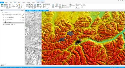
1. ArcGIS Pro by Esri
This is the most popular GIS software in the world, with a comprehensive suite of tools for mapping, data analysis, and visualization.
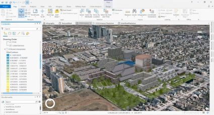
A major advantage of ArcGIS Pro is its robust analytical capabilities. The software includes a wide range of tools for performing spatial analysis, including geoprocessing, network analysis, and 3D visualization. This makes it an excellent choice for tasks such as site selection, routing, and modeling.
In addition to its analytical capabilities, ArcGIS Pro also includes powerful collaboration tools. Users can easily share maps and data with others, either within their organization or with external stakeholders, through web maps, and web apps in ArcGIS Online.
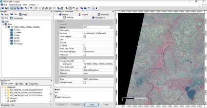
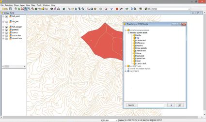
2. QGIS 3
I have to say that QGIS 3 is one of the most powerful and versatile open-source GIS tools available today.
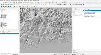
Let me start by saying that QGIS 3 is packed with features that go above and beyond expectations. By accessing its plugin repository, you can access a vast array of analysis tools to extend the functionality of the software even further.
Another great feature of QGIS 3 is its community. The software has a large and active community of users and developers who are constantly contributing new tools and plugins. This is why QGIS 3 is the top open-source GIS software available today.
3. Google Earth Pro
Imagine having the entire world at your fingertips, with just a few clicks of a button. That’s exactly what you can do with Google Earth.
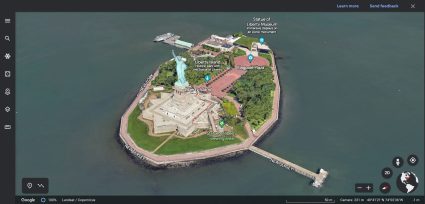
As soon as you open Google Earth, you’re transported to a world of endless possibilities. You can explore any place on earth, from the buzzing cities of New York and Tokyo to the remote villages in the African savannahs. And the best part? You can do it all from the comfort of your own home!
The level of detail in Google Earth is simply mind-blowing. You can zoom in on a city and see individual buildings, or zoom out and see the entire planet from space. You can even use the time-lapse feature to see how a city has evolved over the years and let’s not forget about the Street View feature.
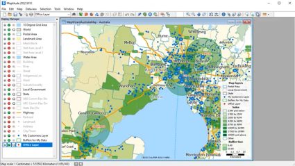
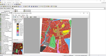
4. MapInfo Pro
What really sets MapInfo Pro apart is that it’s a complete package to explore, model, and act with geospatial analysis.
One of the things that’s great about MapInfo Pro is how intuitive it is to use. The interface is easy to navigate. Plus, it is incredibly customizable, so you can tailor it to your specific needs.
The software comes with plugins like MapInfo Drone, Geocode, and Python Console. Overall, MapInfo Pro is one of the long-standing GIS software packages on the market and it comes at a lower price tag than ArcGIS Pro.
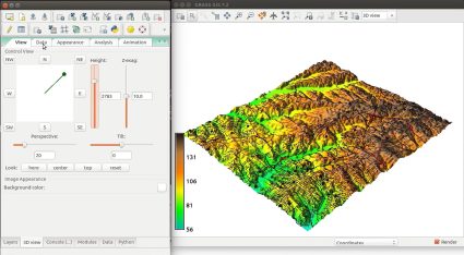
5. Global Mapper
Some of the areas where Global Mapper excels are terrain modeling, 3D visualization, and map design.
One of its strong points is analyzing terrain data. For instance, it can import and analyze a wide range of digital elevation models (DEMs) and terrain data formats. The software includes a range of tools for creating and analyzing terrain profiles, contours, and slope analysis.
Global Mapper has robust data management tools that make it easy to import, export, and manage your data. You can work with a variety of data formats, including vector, raster, and LiDAR data.
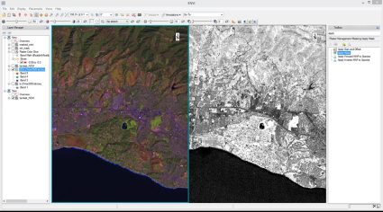
6. GRASS GIS
This is a free and open-source GIS software that offers advanced tools for spatial analysis, data management, and visualization.
One of the things I love most about GRASS GIS is its versatility. The software can handle a wide range of data types, including raster, vector, and point cloud data. Plus, it has a huge range of tools for data management, analysis, and visualization.
You can perform complex spatial analyses, such as terrain analysis, watershed delineation, and network analysis. Plus, you can create beautiful and informative maps, and even generate 3D visualizations of your data. Although the software is incredibly powerful, it can be a bit difficult to use.
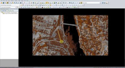
7. ENVI
For your remote sensing needs, ENVI is an incredibly powerful software that offers a wide range of tools for working with radar, multispectral, and hyperspectral imagery.
The software allows me to work with data from a variety of sources, including satellite and airborne sensors. It has a range of tools for data preprocessing, such as radiometric and atmospheric correction, which help to ensure that the data is accurate and consistent.
ENVI also has a range of tools for data analysis and visualization. I can create detailed spectral profiles, perform feature extraction, and classify my data using a range of algorithms, including supervised and unsupervised methods. If you work with remote sensing data, I highly recommend giving ENVI a try.
8. SAGA GIS
SAGA GIS is a free and open-source GIS software that offers a wide range of tools for spatial analysis, data processing, and visualization.
Admittedly, it can be a bit rough around the edges as all the tools are not 100% functional. But the availability of tools and functionality is what surprised me most. It’s a Goliath in spatial geosciences with an entire collection of specialized tools.
Overall, the most bang for your buck is its range of available tools for complex spatial analysis, such as terrain analysis, hydrological modeling, and statistical analysis. This makes it ideal for a wide range of applications, from environmental monitoring to urban planning.
9. Feature Manipulation Engine
FME allows me to perform complex data transformations and integration, as well as automate repetitive tasks in a GIS workflow.
It’s through FME workbenches that you string together transformers to automate your workflow. This is spatial ETL at its finest. Plus, the software supports a wide range of data formats, including both vector and raster data. This allows me to work with data from different sources and formats, and easily integrate them into a single workflow.
FME is excellent for any type of interoperability with GIS formats, data validation, and quality control system. You can build workbenches that detect errors in data, such as missing or invalid attributes. This helps me ensure the quality and accuracy of my data, and avoid costly mistakes down the road.
10. Maptitude
Maptitude is a desktop GIS software that is used by many GIS professionals for its unique and innovative features like TransModeler.
One of the standout features of Maptitude is its extensive library of data and geographic information. The software includes detailed maps of countries and territories, including demographic and economic data for the United States. This allows users to easily access a wealth of information for their mapping and analysis needs, without having to search for and integrate data from multiple sources.
In addition, Maptitude is known for its outstanding customer support. The software company provides extensive training resources, including online tutorials, user guides, and webinars. They also offer one-on-one technical support to help users troubleshoot any issues they may encounter.
11. Whitebox GAT
Whitebox GAT (Geospatial Analysis Toolbox) is a free and open-source GIS software developed by Dr. John Lindsay at the University of Guelph in Canada.
It’s not only a desktop application, but it’s also a toolset that you can leverage in ArcGIS and QGIS. By using this extension, it offers a wide range of advanced analysis tools, including terrain analysis, hydrological modeling, and LiDAR processing.
Whitebox GAT can also be integrated with the R statistical software, allowing users to take advantage of the powerful statistical and visualization capabilities of R. Overall, its open-source nature, cross-platform support, and integration with R make it a popular choice for developers, GIS professionals
12. gvSIG
gvSIG is a free and open-source geographic information system (GIS) software that is widely used in the GIS community. It is developed by the gvSIG Association, a non-profit organization that aims to promote the use of free software in the field of GIS.
gvSIG is a cross-platform software that works on Windows, Linux, and Mac operating systems. This makes it accessible to a wider audience and enables users to work with GIS data on their preferred platform.
Although gvSIG is a popular choice as a GIS software, English documentation can be light for some of the available tools. But it still has several unique features that make gvSIG stand out from other GIS software on the market.
13. ILWIS
Integrated Land and Water Information System (ILWIS) is a free and open-source GIS software developed by the International Institute for Geo-Information Science and Earth Observation (ITC) in the Netherlands.
ILWIS is designed to work with remote sensing data, and includes a range of tools for processing and analyzing satellite imagery. This makes it a popular choice for users who need to work with remote sensing data in their GIS projects.
ILWIS can be integrated with R and Python, allowing users to take advantage of the powerful statistical and visualization capabilities of these languages within the ILWIS environment.
14. GE Smallworld
GE Smallworld is a comprehensive GIS software suite that is designed to provide a powerful set of tools for managing complex network infrastructures. It is used in a wide range of industries, including utilities, telecommunications, transportation, and government.
GE Smallworld is specifically designed for managing complex network infrastructures. Because GE Smallworld is an industry-specific solution, it’s mostly only tailored to the needs of these industries (and nothing beyond).
But it’s good at what it does. This includes a range of advanced network analysis tools, such as trace analysis, network tracing, and network optimization. It can also be integrated with other software, such as Microsoft Office and Oracle.
15. Geoda
GeoDa is a free and open-source GIS software designed for spatial data analysis and visualization. It is developed by the Center for Spatial Data Science at the University of Chicago and has become a popular tool for researchers, policymakers, and other professionals who work with spatial data.
But the focus is on statistics and it’s actually a great way to learn the subject! It offers a wide range of advanced spatial analysis tools, including spatial autocorrelation, hot spot analysis, and spatial regression.
One of the things I love about Geoda is its user interface. The software is designed to be easy to use, with a clean and modern look that makes it a pleasure to work with. From advanced visualization tools to powerful analytical capabilities, this GIS software has everything you need to work with spatial data and statistics like a pro.
Conclusion
Well, there you have it. These are the top 15 GIS software that we tested. We hope you know how easy it is to get started and see how Geographic Information Systems (GIS) are transforming the way we understand the world around us.
Each one allows you to explore the many applications of GIS software in fields like urban planning, environmental science, and public health.
Now, we’d like to flip it over to you. Which GIS software did we miss? Please add a comment below and we’ll try to get back to you as soon as we can.