An Introduction to Geodatabases: Unlock GIS Data
An Introduction to Geodatabase
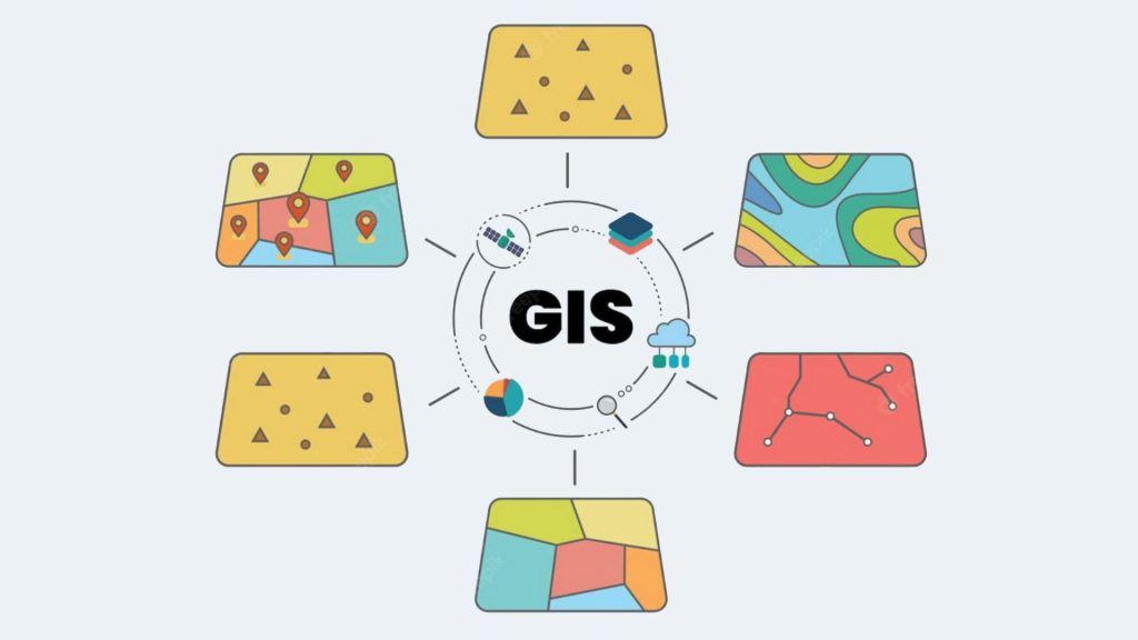
The world contains an immense amount of geographic data, from satellite imagery to GPS coordinates. Unlocking this data can be tricky, which is why geodatabases are so useful. Geodatabases are a way to store, query, and analyze geographic data in an organized and efficient manner. In this article, you will learn more about geodatabase and why they key for storage.
What is a Geodatabase?
A geodatabase is a specialized database designed to store geographic data. It stores different types of geographic data, including raster and vector data, topology, and other location information.
A geodatabase is an extension of a database, with a few special additions to better store GIS data. A geodatabase can be hosted by a traditional database server or accessed through GIS software.
Geodatabases store geographic information, such as locations, boundaries, roads, land parcels, and other spatial features. It provides a container for editing and managing geographic data, which you can use in a wide range of applications and disciplines.
Benefits of Geodatabases
In Geographic Information Systems (GIS), here are some of the major benefits of geodatabase:
Overall, geodatabases provide a powerful platform for managing and analyzing geographic data for a variety of applications and disciplines. With its efficient storage methods, robust analysis capabilities, and ability to share data across multiple
Types of Geodatabases
The main two types of geodatabases are (1) personal geodatabases and (2) file geodatabases:
Personal geodatabases
A personal geodatabase is a type of database that stores geographic information system (GIS) data. It is a Microsoft Access-based format that allows users to store spatial and attribute data in one file. Personal geodatabases are typically used by individuals or small organizations for storing GIS data.

Data stored in a personal geodatabase can be edited and then shared with other users. Personal geodatabases are easy to use and allow users to manage their data in an efficient manner. But the storage limit is just 2 GB.
They are a good option for those who do not require the security and storage capabilities of an enterprise geodatabase. The most common types of data stored in a personal geodatabase are points, lines, polygons, rasters, and tables (attributes). Personal geodatabases are compatible with ArcGIS Desktop, ArcGIS Online, and other GIS software applications like QGIS, Geomedia, and MapInfo Professional.
File geodatabases
A file geodatabase is a geospatial database format developed by Esri, the leading developer of GIS software. The file geodatabase is the preferred format for ArcGIS users.

A file geodatabase is a collection of related files stored in a folder that can be used to store and manage geographic data such as features, rasters, tables, and relationships. It stores feature datasets, feature classes, and tables in a single location while also providing support for geospatial data types, relationships, and topologies.
It is more robust than shapefiles and enables more efficient storage and retrieval of geographic data. Additionally, file geodatabases are capable of storing larger datasets and have better support for large-scale editing operations.
Conclusion
A geodatabase is a database in which you can store and query geographic data. It is an efficient way to store and analyze all types of GIS data, including raster and vector data and other location information.
The geodatabase contains a set of system tables that define its structure and content, enabling users to easily query and edit their data. Additionally, file geodatabases can be used to store metadata, creating an organized, efficient way to store geospatial data.